|
navigational marks
navigation marks
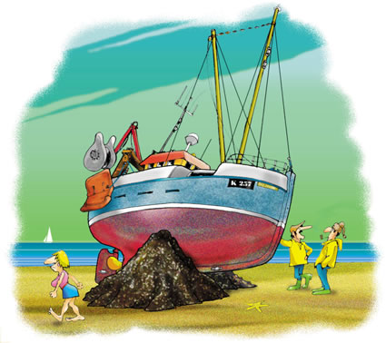
are supposed to stop this sort of thing!
It is rare that model railways show
sufficient navigable water to include many navigational marks. Sadly, all too
often though, when modelled, they are often wrong. This is a brief
round-up of the rules. For further information, go to my website
Yachting Life where it is explained to a level of utter tedium!
Needless to say, there is no world wide
standardisation, largely because the Americans must have had a dyslexic
administrator. I shall describe what happens in most of the world. For the
Americas, just reverse everything (red goes green, green goes red).
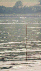
One of the oldest ways to mark a channel in a
creek is by 'withy'. These are just willow branches stuck into the mud.
They can still be found in places like the Blackwater Estuary in Essex.
On larger channels, the marks may be made
using more
substantial poles (beacons)
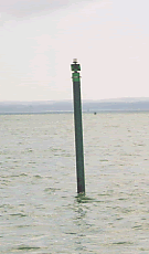
a modern starboard beacon
|
rivers and estuaries (lateral system) |
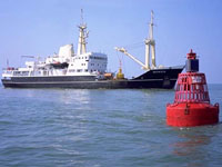
In Europe, port (red - can) and starboard
(green - conical) are laid in the direction of the tide when it comes in.

Floating buoys were usually made of riveted
iron but are now welded structures. They are anchored into position by
chain and anchor/weight. Sufficient 'scope' (length of chain) is provided
to allow for the rise and fall of the tides. There is no standard method
of construction. Some may have a counter balance weight below and some are
just oversized biscuit tins.
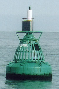
A bit further out to sea, may may have most
interesting lattice structures. These would normally never be seen 'in
situ' but may be modelled when recovered for maintenance and painting.
Inshore, the buoys may not be lit, but once in busy channels, lighting is
provided and each buoy flashes in a distinctive way, allowing them to be
identified at night. They may also be provided with a bell, which is
contained within the lattice structure.
a port lateral buoy

a middle ground buoy (marking a sandbank)
from the East UK coast (contains a bell)
a starboard lateral buoy
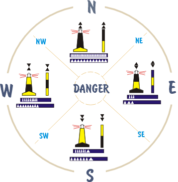
Since the war, a new system has also been
brought into use. The old lateral system is still used for much of inshore
navigation though. These mark a danger and the striping and top shape
denotes where the danger is. This system is universal.
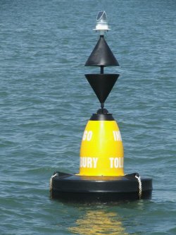
Modern buoyage is provided with a radar
reflector which is very distinctive.
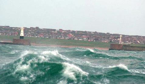
The entrance to harbours is also marked with
either beacons or light towers. Again, in Europe, the left would be port
(red) and the right starboard (green)
Glenthorne port channel marker No 3 out for maintenance. The buoy is
tipped in that way because the lower body is ballasted. The green Ulva
algae on the waterline bleaches to a grey green very quickly when removed
from water

|